Why planes skip the Pacific
When you look at a world map, it seems like the fastest way across would be straight over the Pacific Ocean. Yet most commercial flights curve far north or south instead.
Airlines make this choice to save fuel, avoid unpredictable weather, and keep close to emergency landing options. These decisions are about efficiency and safety, not mystery. It also allows airlines to keep schedules more reliable, even when nature doesn’t cooperate.
Fuel use makes routes tricky
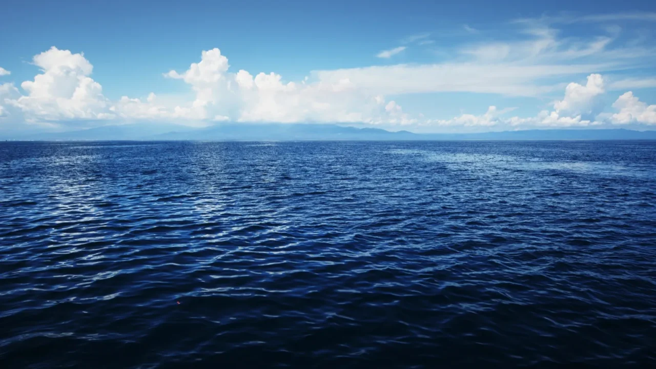
The Pacific is the largest ocean on Earth, covering over 60 million square miles. Flying directly across requires more fuel than most airlines want to carry.
Heavy fuel loads add weight, making planes less efficient and more expensive to operate. Curved routes often end up shorter and cheaper despite looking longer on a flat map. Airlines carefully calculate these trade-offs because fuel is one of their biggest expenses.

The earth’s curve changes things
Straight lines on a flat map can be misleading. Because the Earth is round, curved paths called “great circle routes” are often the shortest.
That’s why flights between North America and Asia often arc over Alaska or the Arctic. These paths cut time and fuel compared to flying straight across the Pacific. It’s one of those times when geography and physics work together to save hours in the air.

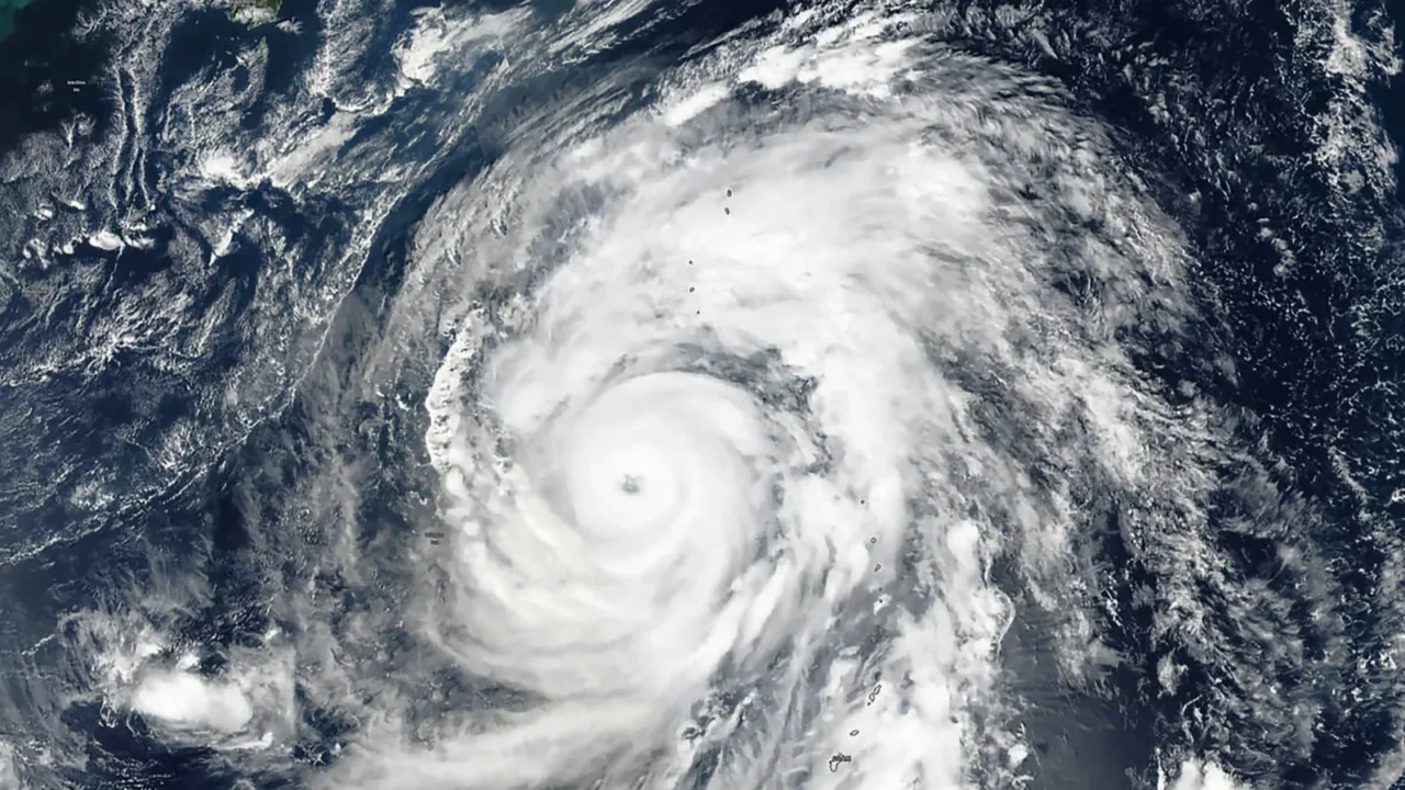
Storms can form quickly
The Pacific Ocean is famous for unpredictable weather patterns. Sudden storms, typhoons, and turbulence can develop across wide stretches of open water.
Pilots prefer routes with more predictable conditions and easier detours. This helps keep flights smoother, safer, and more comfortable for passengers. It’s not unusual for airlines to reroute mid-flight if storms appear along a planned path.

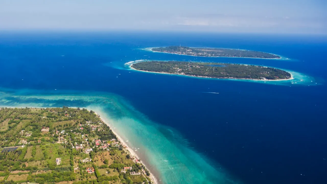
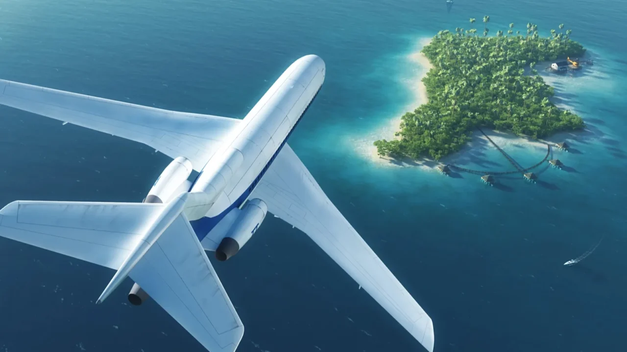
Landing spots are limited
One of the biggest challenges is the lack of places to land. Much of the Pacific has no islands or airports within safe distance.
Airlines choose routes that stay closer to coastlines or airports, even if it adds distance. In an emergency, crews need somewhere nearby to land quickly. That’s why transatlantic flights are easier to schedule, with dozens of airports scattered along the way.
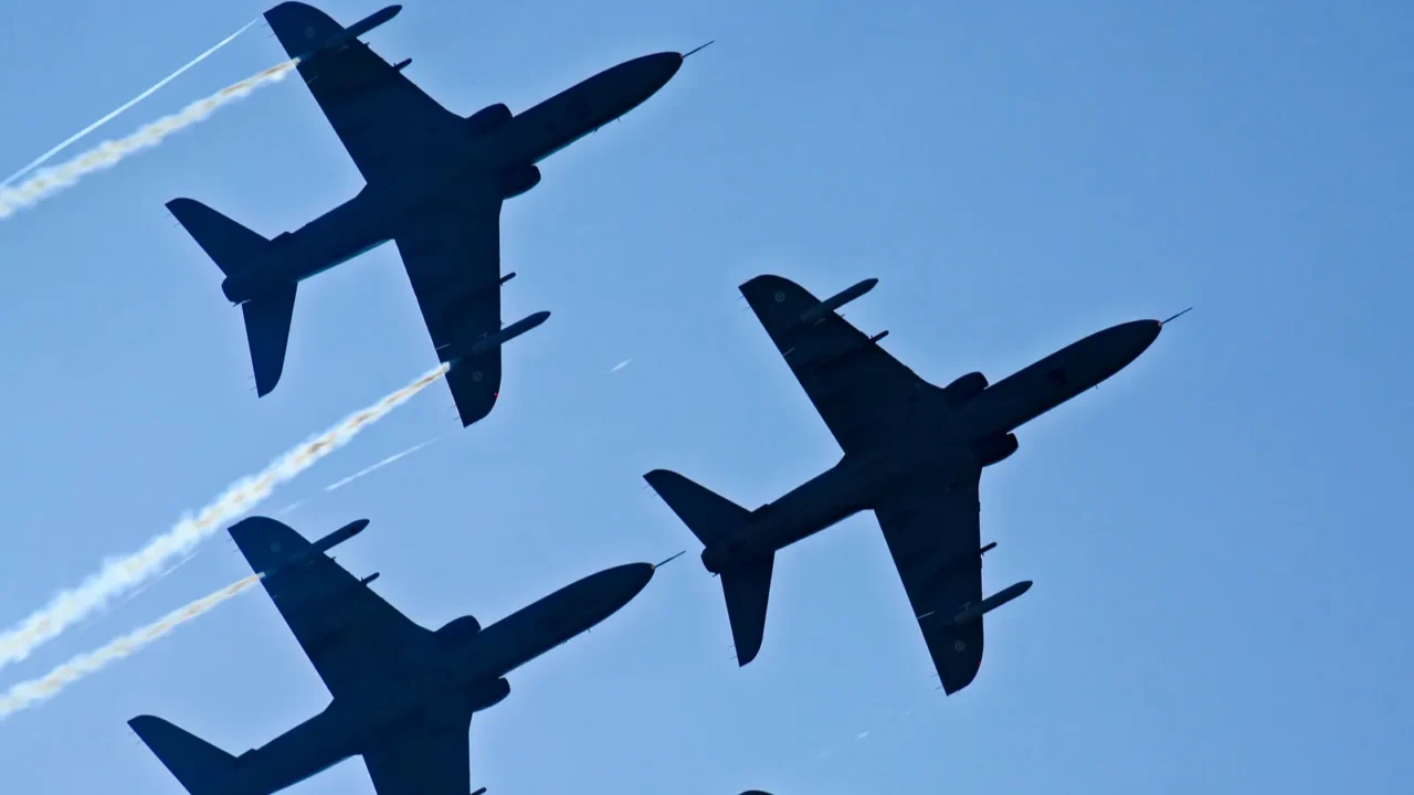
Safety rules matter
Modern planes must follow strict rules when flying long overwater routes. Twin-engine jets in particular operate under ETOPS regulations.
ETOPS requires that flights never be more than a few hours from a landing site. This means pilots can’t just chart a straight course over the endless Pacific. These rules were created to prevent the rare but serious risk of engine problems mid-ocean.

Jet streams push flights
High above the Earth, narrow bands of strong winds called jet streams can either help or hurt flights. They usually flow west to east across the Pacific.
Flying against them burns extra fuel and creates rough turbulence. Airlines plan routes to catch favorable winds while avoiding the most punishing ones. Captains often check real-time wind charts before departure to fine-tune their paths.
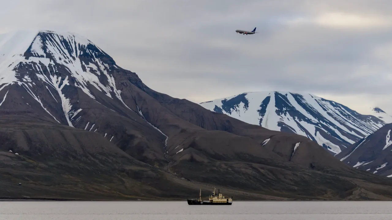
Arctic shortcuts are faster
Flights often cross near Alaska, Siberia, or the Arctic Circle instead of going straight over the ocean. These polar routes take advantage of Earth’s shape and wind patterns.
They save hours of travel time while keeping planes closer to emergency airports. For airlines, that’s a win-win combination of safety and efficiency. It also explains why some flights appear to “curve” oddly on tracking apps.
Distance still plays a role
Crossing the Pacific directly often means thousands of miles between safe points. This makes trip planning far more complex than crossing the Atlantic.
The Atlantic has many coastal cities and airports to break the journey, but the Pacific is mostly empty water. That gap is a huge reason airlines look for alternate paths. Simply put, the Pacific is just too vast for shortcuts to be practical most of the time.
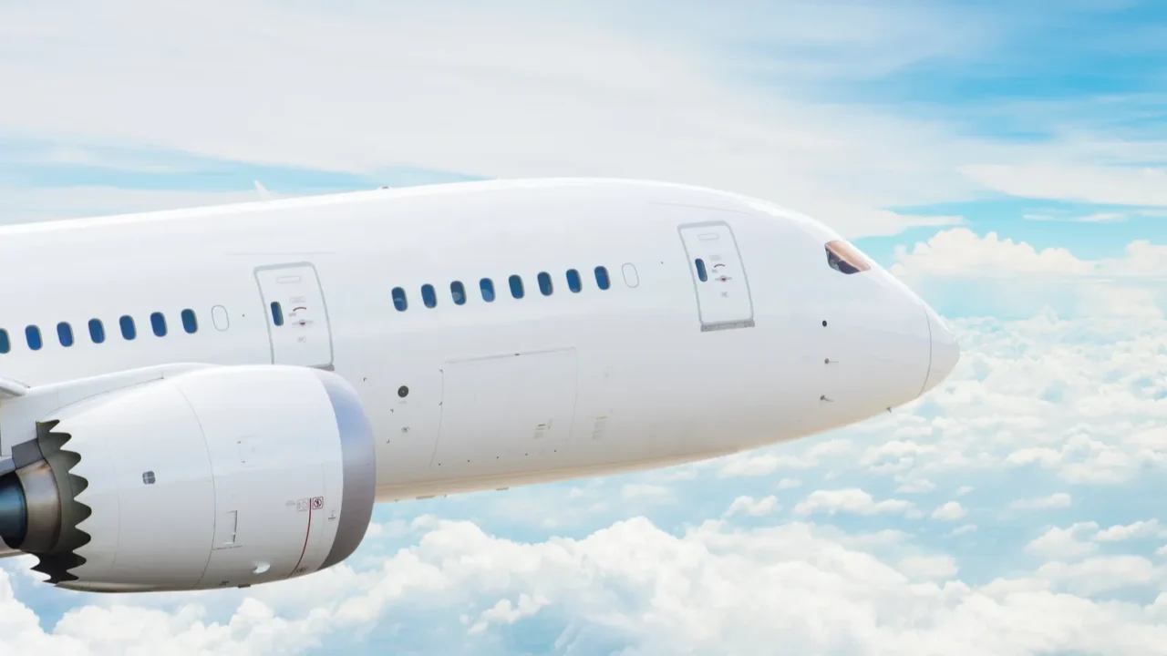
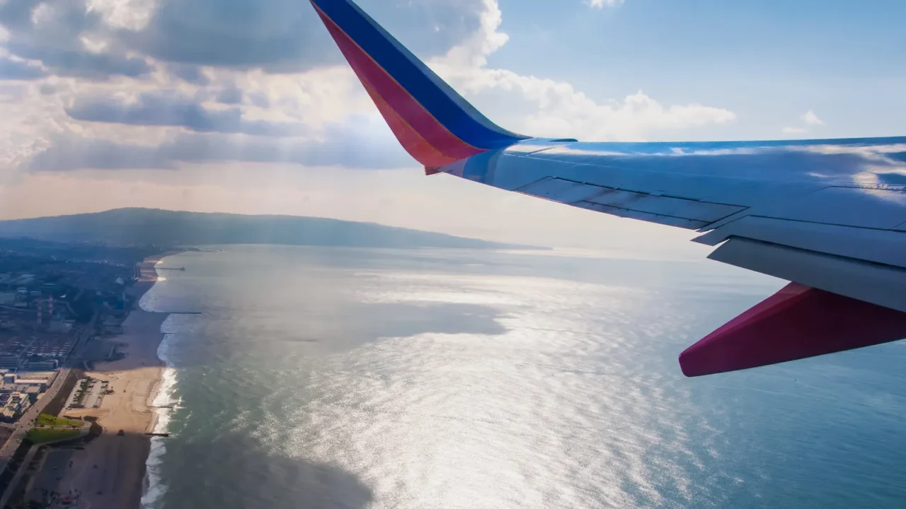
Modern jets handle more
Thanks to advances in technology, newer aircraft like the Boeing 787 and Airbus A350 can fly long overwater stretches. They’re designed for efficiency and reliability.
That’s why nonstop flights between the U.S. and Australia or New Zealand are possible today. Even so, these flights still follow routes with backup options rather than straight lines. Pilots and airlines build in detailed contingency plans before every departure.

Accidents shape caution
Recent aviation incidents over the Pacific remind airlines of the risks. In 2025, several small planes crashed or went missing off the California coast.
Even large commercial jets have faced technical problems mid-ocean, forcing returns to land. These events highlight why airlines avoid the longest, emptiest routes. Lessons learned from past accidents are built into every modern safety rule.
Rescue is challenging
Search and rescue operations in the Pacific are incredibly difficult. The sheer size of the ocean makes finding and reaching aircraft time-consuming.
In emergencies, every second matters. Flying routes closer to land ensures help can arrive much faster if something goes wrong. Even satellites and drones have trouble covering such a massive area effectively.
Weather tech helps but it can’t remove the risks entirely
Today’s jets use advanced radar and satellite systems to track storms. Pilots can reroute flights midair to avoid dangerous conditions.
Still, technology can’t remove the risks entirely. Airlines minimize exposure by avoiding areas where storms form quickly, like wide stretches of the open Pacific. Weather forecasts improve every year, but the Pacific’s scale makes surprises inevitable.
Cargo and military fly often
It’s not that planes never cross the Pacific. Cargo flights and military aircraft often use direct ocean routes. These flights carry extra fuel, backup systems, and trained crews to handle rare emergencies. Commercial passenger flights, though, stick to the safest and most efficient options.
Military operations also use bases scattered on remote islands, which aren’t practical for regular airline routes.
Some routes still cross
Nonstop flights between Los Angeles and Sydney or San Francisco and Auckland do cover huge Pacific distances. They succeed because of advanced planes and strict planning.
Crews prepare for every possible scenario, from diversions to sudden storms. These flights prove it’s possible, but still rare compared to land-hugging routes. They also tend to cost more, reflecting the complexity of such long journeys.
Ultra-long flights show what’s possible, but timing still shapes the trip. Discover the best times to book flights (and when not to) before planning your next journey.
Safety always comes first
At the end of the day, airline choices come down to one thing: safety. Every decision about route, fuel, or weather is made to protect passengers.
Flying may feel routine, but planning a safe trip across the world’s largest ocean is anything but simple. That’s why airlines avoid unnecessary risks. Efficiency matters too, but safety always takes priority.
Safety guides every flight, but it also shapes where we go. See what’s behind the latest U.S. travel warning for Mexico and what it means for travelers now.
Would you feel comfortable on a nonstop flight straight across the Pacific? Share your thoughts below.
Read More From This Brand:
- Easiest beginner-friendly hikes in USA with breathtaking views
- The ultimate summer road trip through New York’s Finger Lakes
- The real reasons businesses are fleeing California (and what it means for you)
Don’t forget to follow us for more exclusive content right here on MSN.
This slideshow was made with AI assistance and human editing.