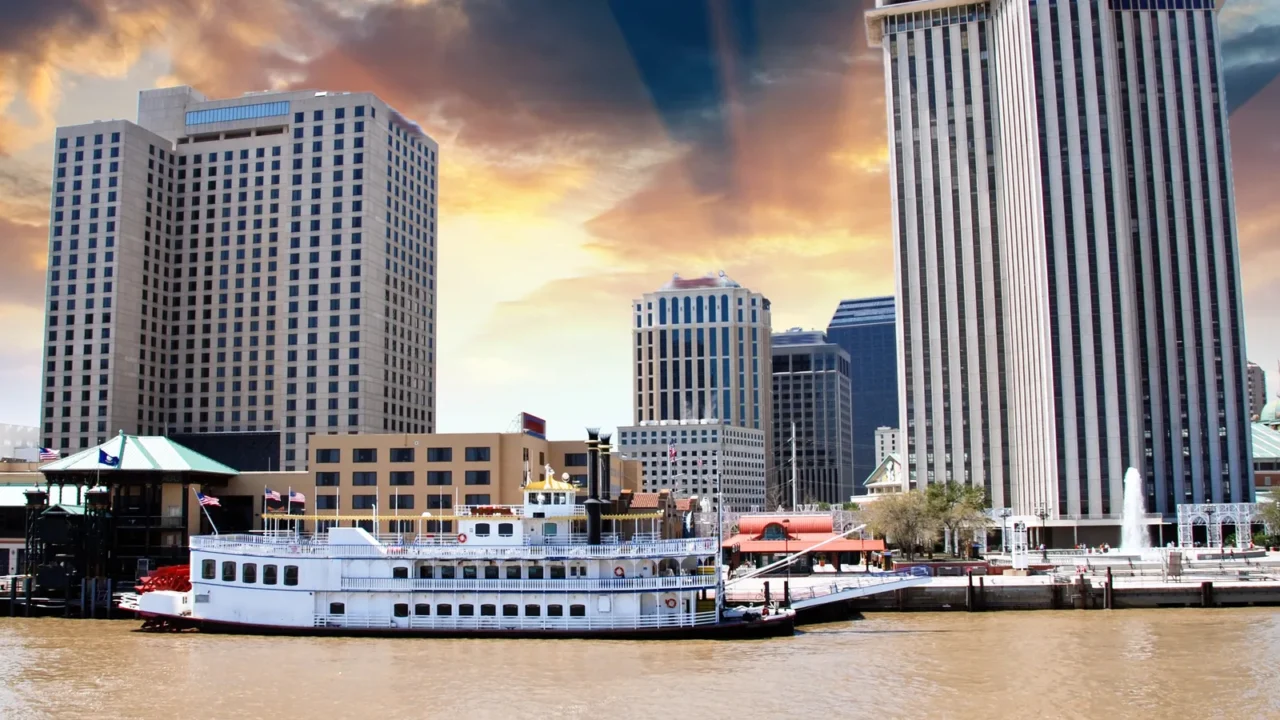
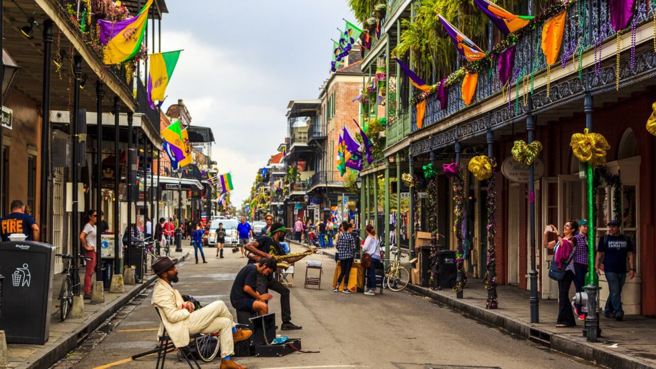
New Orleans is losing ground
New Orleans is not just fighting higher water. It is also losing elevation from below, and that makes every storm, heavy rain event, and high-tide flood more dangerous than the same event would have been a generation ago.
That matters now because a 2025 satellite-based study found parts of Greater New Orleans, including some flood-defense sections, are sinking by more than an inch a year, with hotspots reaching nearly 2 inches annually.
The warning signs are not new
Scientists have tracked this problem for years. A NASA-led study published in 2016 found highly uneven sinking across New Orleans, with some industrial areas and nearby zones dropping by as much as 50 millimeters, or about 2 inches, per year.
What changed is the level of precision. The newer 2025 research shows the pattern is still active, and it now ties that land motion directly to neighborhoods, wetlands, airport areas, and even parts of the region’s flood-protection system.
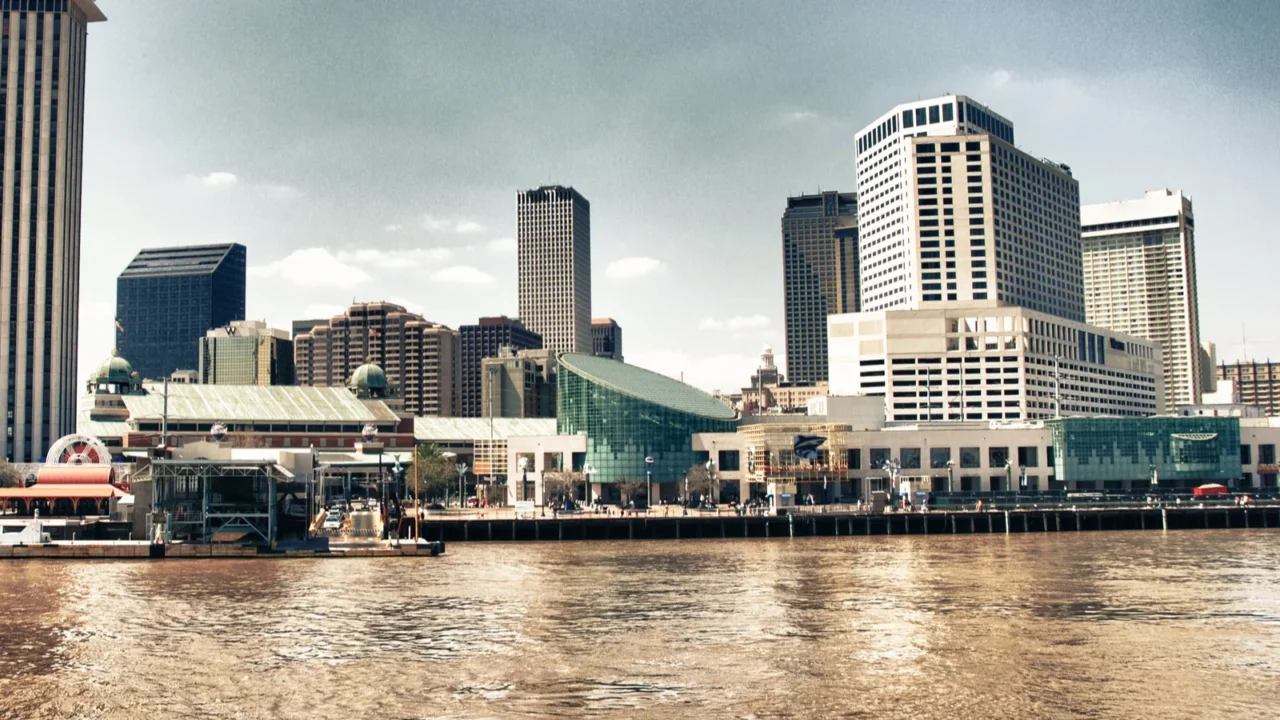
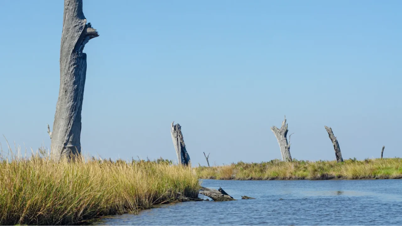
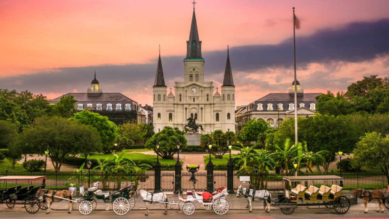
The city already sits in a bowl
New Orleans is unusually exposed because so much of it sits close to, or below, sea level. City hazard planners describe Orleans Parish as a saucer-shaped landscape where rainwater often must be pumped out rather than draining away naturally.
NASA has also described metropolitan New Orleans as averaging about 1.8 meters below sea level. That geography is a big reason subsidence here is not just a technical issue but a daily public-safety issue.
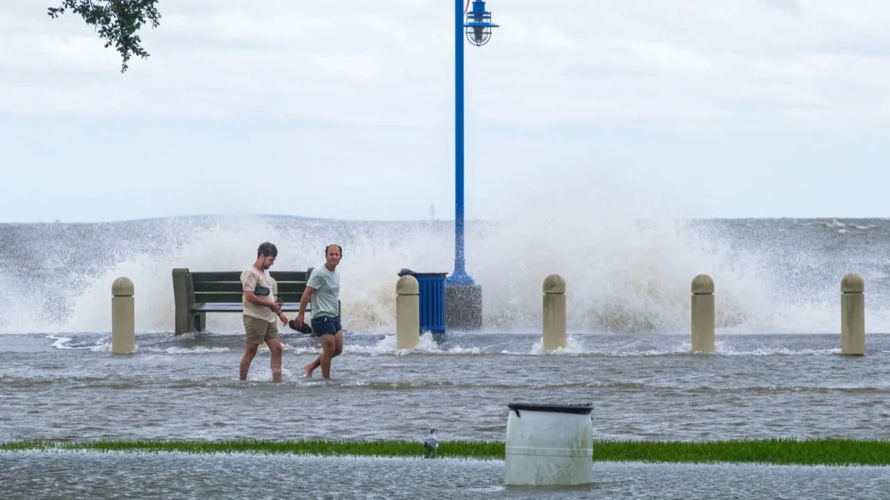
Rising seas make the math worse
Sinking land would be a serious problem on its own, but New Orleans is also facing faster coastal sea-level rise. NOAA says U.S. coastlines are projected to see about 10 to 12 inches of sea-level rise by 2050, and the western Gulf is expected to see even more.
For the western Gulf, NOAA Climate.gov says sea level is likely to be around 16 to 18 inches higher by 2050 than it was in 2020. When the ground sinks as the water rises, flood risk climbs from both directions.
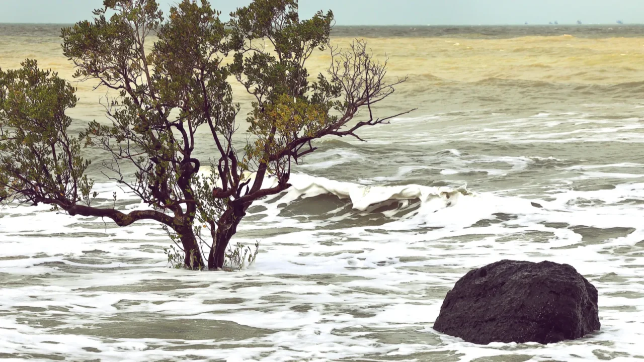
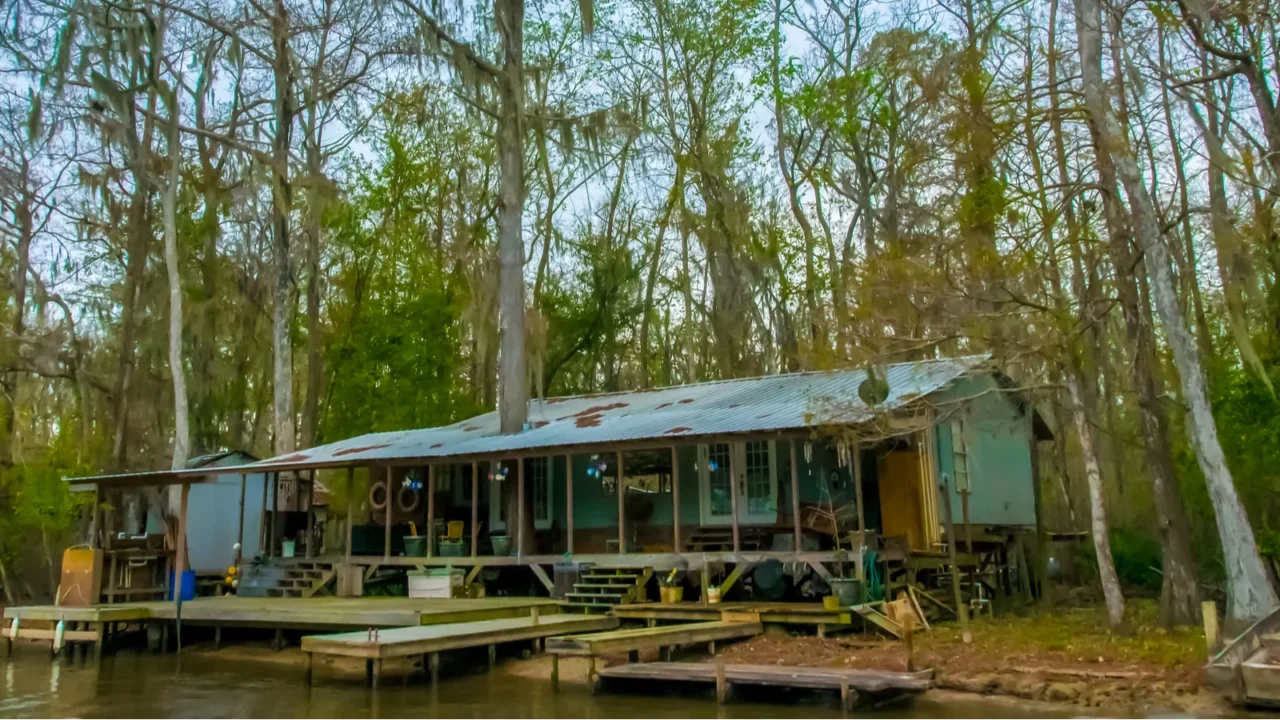
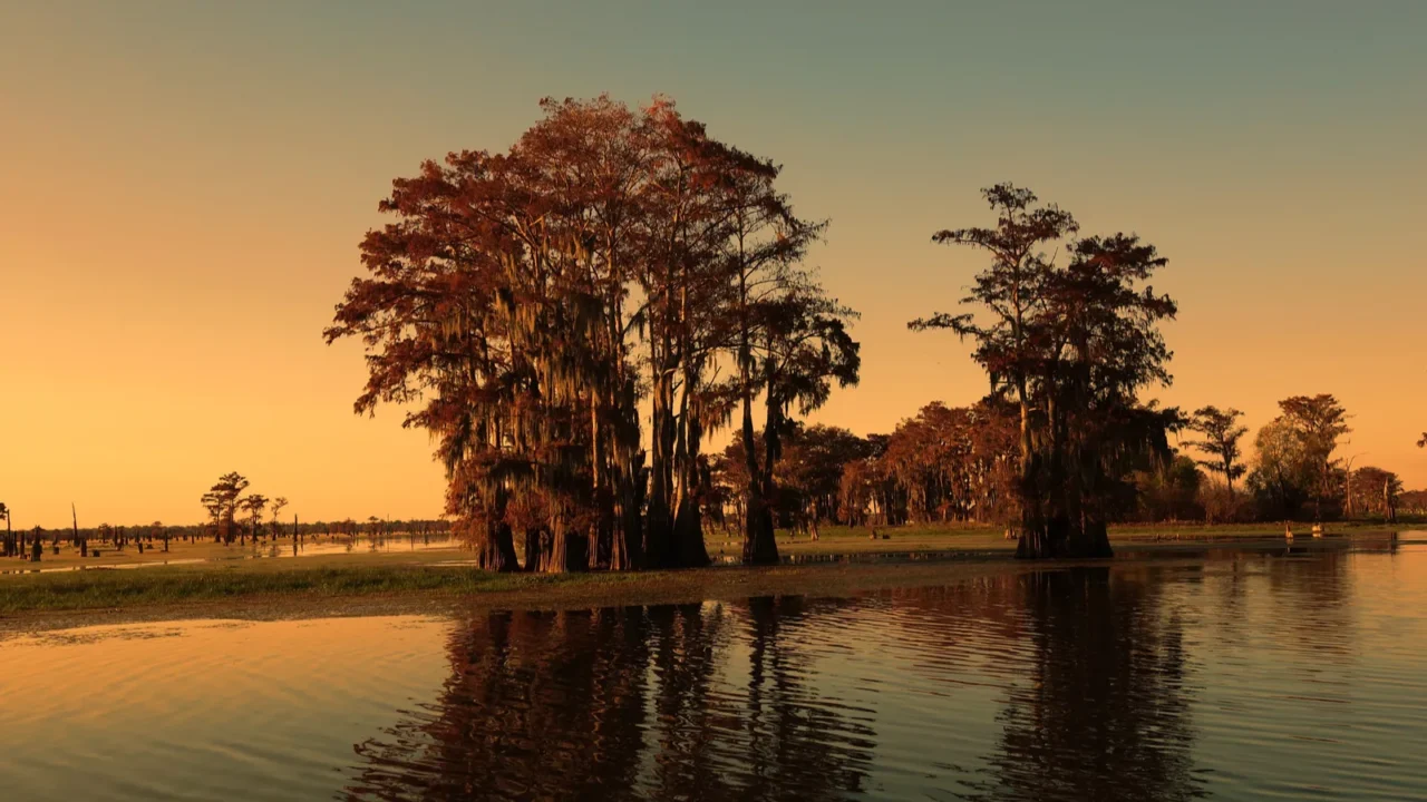
Louisiana is losing its natural shield
South Louisiana is also losing the marshes and barrier landscapes that soften storm surge before it reaches towns and cities. Louisiana’s Coastal Protection and Restoration Authority says the state has lost nearly 2,000 square miles of land since the 1930s.
That loss is not just ecological. Wetlands and barrier islands help reduce incoming surge, and the state warns that losing them makes communities and infrastructure much more vulnerable to flooding.
Little-known fact: The West Closure Complex in the New Orleans area includes one of the world’s largest pumping stations, and local reporting says it can move 19,140 cubic feet of water per second.
Why the ground keeps dropping
The region once relied on the Mississippi River to deposit fresh sediment and help build land. Over time, levees, drainage systems, canals, wetland conversion, and groundwater-related pressures interrupted that natural rebuilding cycle and helped soils dry, compact, and sink.
That is why subsidence is so uneven. The 2025 study linked faster sinking in some places to soil compression, groundwater withdrawal, industrial zones, and newer residential developments built on fragile ground.
Little-known fact: Before Island Road was built in 1953, Isle de Jean Charles was accessible only by boat or pirogue.
Even flood walls are moving
One of the most alarming findings from the 2025 study is that some concrete flood walls built after Hurricane Katrina are also sinking. Researchers said some sections are dropping faster than sea levels are rising, which can slowly reduce how much storm surge those walls can block.
That does not mean the whole protection system is failing today. It does mean protection cannot be treated as fixed, because a wall that was built to a certain height can lose margin over time if the land beneath it keeps settling.
Little-known fact: The tribe’s resettlement timeline shows formal tribal action to resettle dates back to 2002, long before climate relocation became a mainstream national policy discussion.
Hotspots are spread across the region
The newest satellite map does not show one single danger zone. It points to faster sinking around parts of New Orleans East, wetlands near the city, industrial corridors, the airport area, and some newer subdivisions where soil conditions appear less stable.
That matters for regular life, not just hurricane season. Residents in faster-sinking areas can face more cracked pavement, drainage trouble, and maintenance issues long before a major storm ever shows up on the radar.
Culture is part of what is at stake
This story is about more than engineering. Louisiana’s coastal agency warns that land loss threatens waterways, wetlands, infrastructure, and the state’s unique culture, because communities and traditions are tied to places that are steadily becoming harder to protect.
For New Orleans, that means the long-term risk reaches beyond roads and levees. It touches neighborhoods, local identity, and the broader cultural
One nearby community already moved
The clearest warning may be Isle de Jean Charles, a tribal homeland in coastal Louisiana. USGS and tribal sources say the island has lost about 98% of its landmass since the 1950s, leaving only a small fraction of what once existed.
For years, the island’s only road was regularly threatened by flooding, tides, and storm surge. That made ordinary life harder and turned climate risk into something residents had to navigate week after week, not once every few years.
The New Isle became a test case
The Isle de Jean Charles resettlement became the nation’s first federally funded, community-scale climate relocation effort. The tribe had been organizing for years, and the state-backed project moved families inland to a new site known as the New Isle.
Louisiana’s Office of Community Development says that as of fall 2024, 37 residents or families had resettled at the New Isle since move in began in August 2022. That makes the project one of the country’s most closely watched climate-adaptation experiments.
Moving did not solve everything
Relocation reduced direct exposure to the island’s flooding risk, but it did not erase the emotional and political cost of leaving ancestral land. Tribal leaders have described the move as a fight to preserve community, identity, and self-determination, not just a housing change.
Recent reporting also shows that some former residents have raised concerns about the new homes and how the resettlement has been managed. That is an important lesson for other U.S. communities that may eventually have to consider managed retreat.
Tidal flooding is becoming part of trip planning in more beach destinations than many travelers realize. Check out which U.S. coastal cities are now warning visitors before high tide turns into a travel headache.
The next 30 years are critical
Federal sea-level experts say coastal flooding is expected to become much more common by 2050, with minor flooding happening more than 10 times as often on average as it does today. In a low-lying region, this raises the cost of waiting.
Louisiana’s 2023 Coastal Master Plan higher scenario is also blunt: without action, the state could lose up to another 3,000 square miles of land over the next 50 years. New Orleans is not facing one future threat. It is facing several at once.
Post-disaster tourism can bring money back fast, but it can also raise hard questions about timing and respect. Check out what happens when famous destinations rebuild after a crisis.
If one of America’s great cultural capitals is being forced to adapt this fast, what should other coastal cities learn from it next? Share your thoughts and your view in the comments.
This slideshow was made with AI assistance and human editing.
Don’t forget to follow us for more exclusive content right here on MSN.
Read More From This Brand: