
NOAA winter pattern shift
The National Oceanic and Atmospheric Administration (NOAA) has confirmed a pattern shift in February 2026 that is affecting winter conditions across many US states. Forecasts describe a disrupted polar vortex and Arctic air intrusions, pushing unusually cold and stormy weather deep into the country. These changes are creating major snowfall, ice storms, and frigid temperatures beyond what’s normal for February.
Scientists point out that these shifts are tied to atmospheric waves and stratospheric warming events. This unusual winter activity is capturing attention from both meteorologists and emergency planners nationwide. Let’s get to it!

Polar vortex disruption effects
The polar vortex has been unstable this winter, with forecasts showing partial collapse and pulses of Arctic air moving south. Central and eastern US states are seeing temperature swings and renewed winter storms as a result. This disruption has made February unusually active in terms of winter weather events.
Forecasters link the polar vortex instability to extreme cold outbreaks and sudden snowstorms. Areas like the Midwest and Northeast are experiencing weather more typical of late December. The pattern is expected to continue influencing major snow and ice events this month.
Cold blasts hit major cities
Extreme cold blasts have been affecting major cities such as Washington, D.C., Boston, and New York. Forecasts warned of dangerous wind chills and heavy snow continuing through early February. These events are directly tied to the disrupted polar vortex and shifting winter patterns.
Temperatures in the Northeast have plunged toward historic February lows. Travel disruptions and hazardous road conditions are becoming common across these regions. Residents and local authorities are bracing for continued winter challenges in the coming weeks.
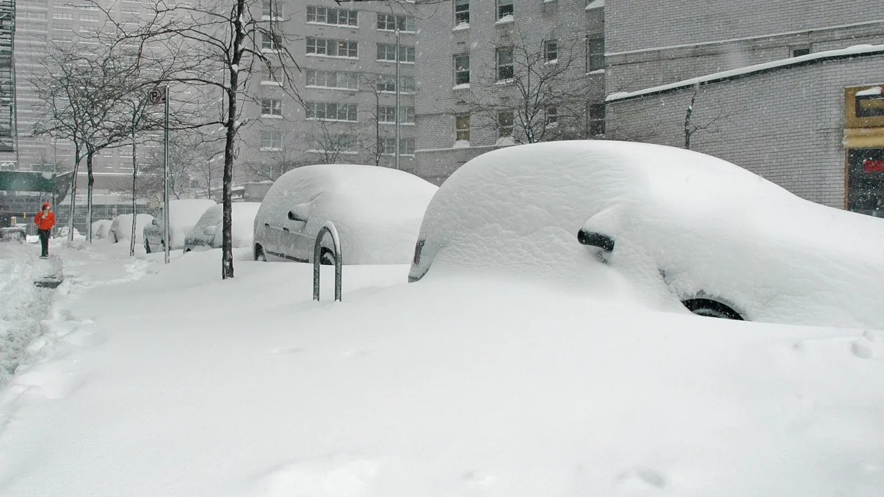
Bomb cyclone aftermath
A late January bomb cyclone set the stage for February’s intense winter activity. Heavy snow, strong winds, and widespread ice impacted areas from the Southeast to the mid-Atlantic. The storm left lingering cold air that fuels ongoing winter events across the country.
Communities in North Carolina and Virginia reported record snow amounts from the cyclone. Recovery efforts are still ongoing as local utilities work to restore services. The storm’s effects remain evident in roads, schools, and emergency systems well into February.
Snow and ice storm clusters
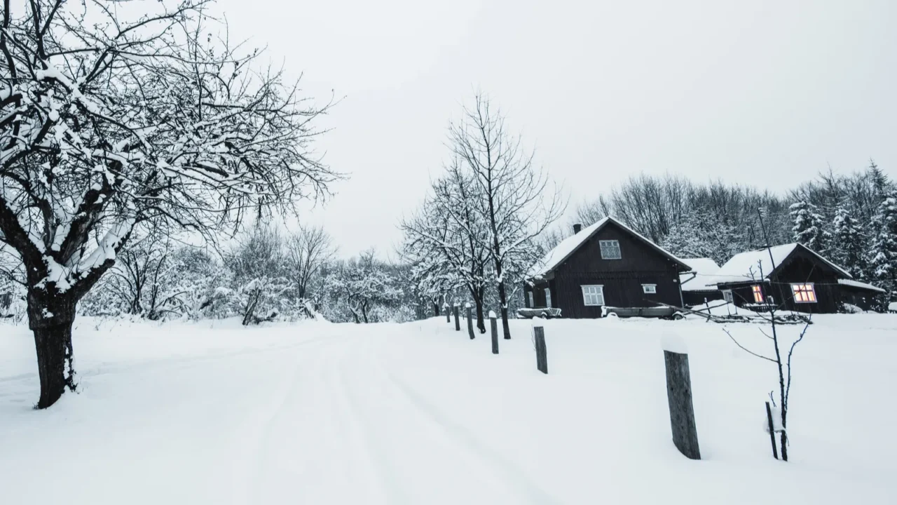
Before February began, multiple winter storms struck the southern Plains, Midwest, and East. Snow, freezing rain, and icy roads caused travel hazards and safety concerns. The repeated storms established a persistent pattern of hazardous winter weather.
Emergency declarations were issued in several states as snow and ice caused damage. Schools and businesses adjusted schedules in response to severe weather. The clustering of storms has made February unusually intense compared to previous years.
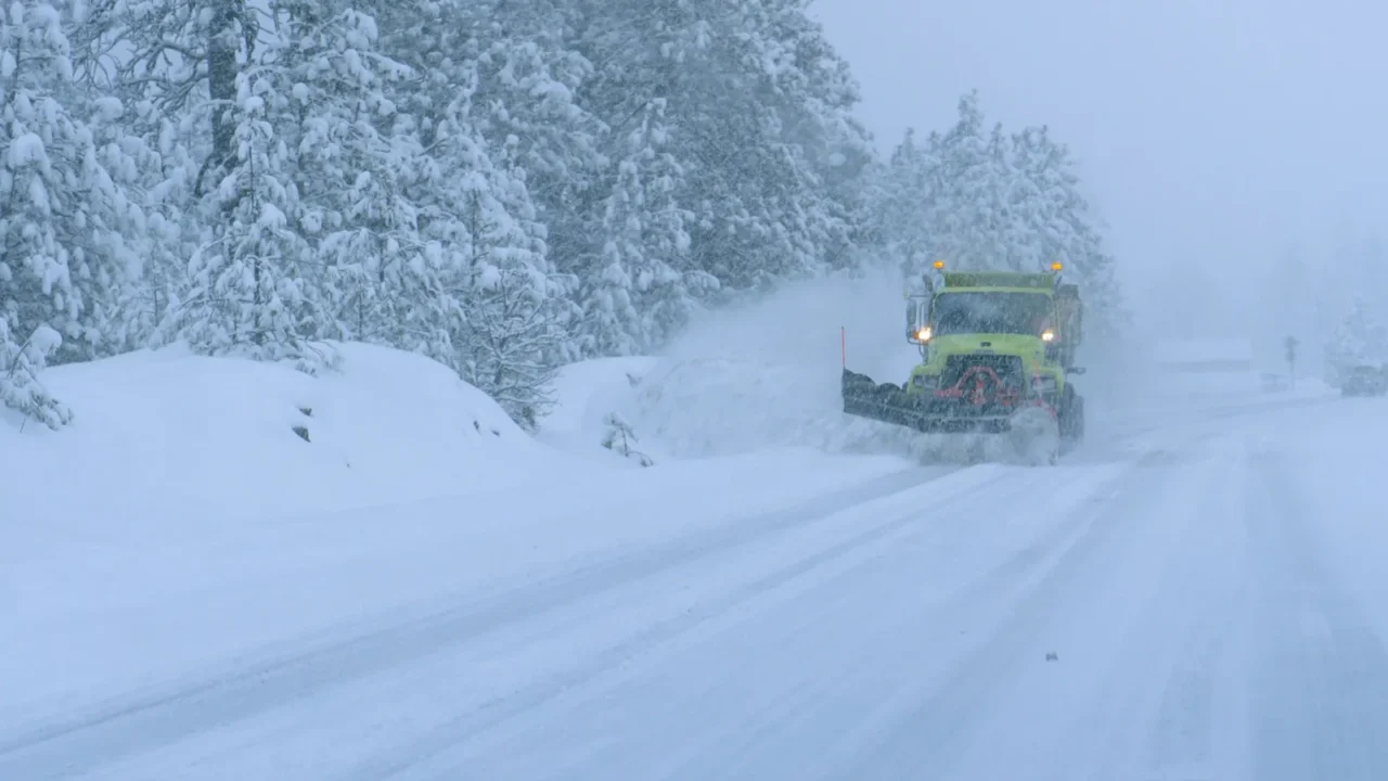
Mid‑Atlantic storm warnings
Winter storm warnings covered more than a dozen states in early February. Forecasts predicted 6 to 8 inches of snow with wind gusts up to 50 mph in some areas. These conditions created hazardous travel and strong winter impacts across the mid-Atlantic.
Wind chills in northern Appalachians and New England reached dangerous levels. Local authorities emphasized precautions for residents and drivers. The warnings highlighted how active and disruptive winter has become this month.

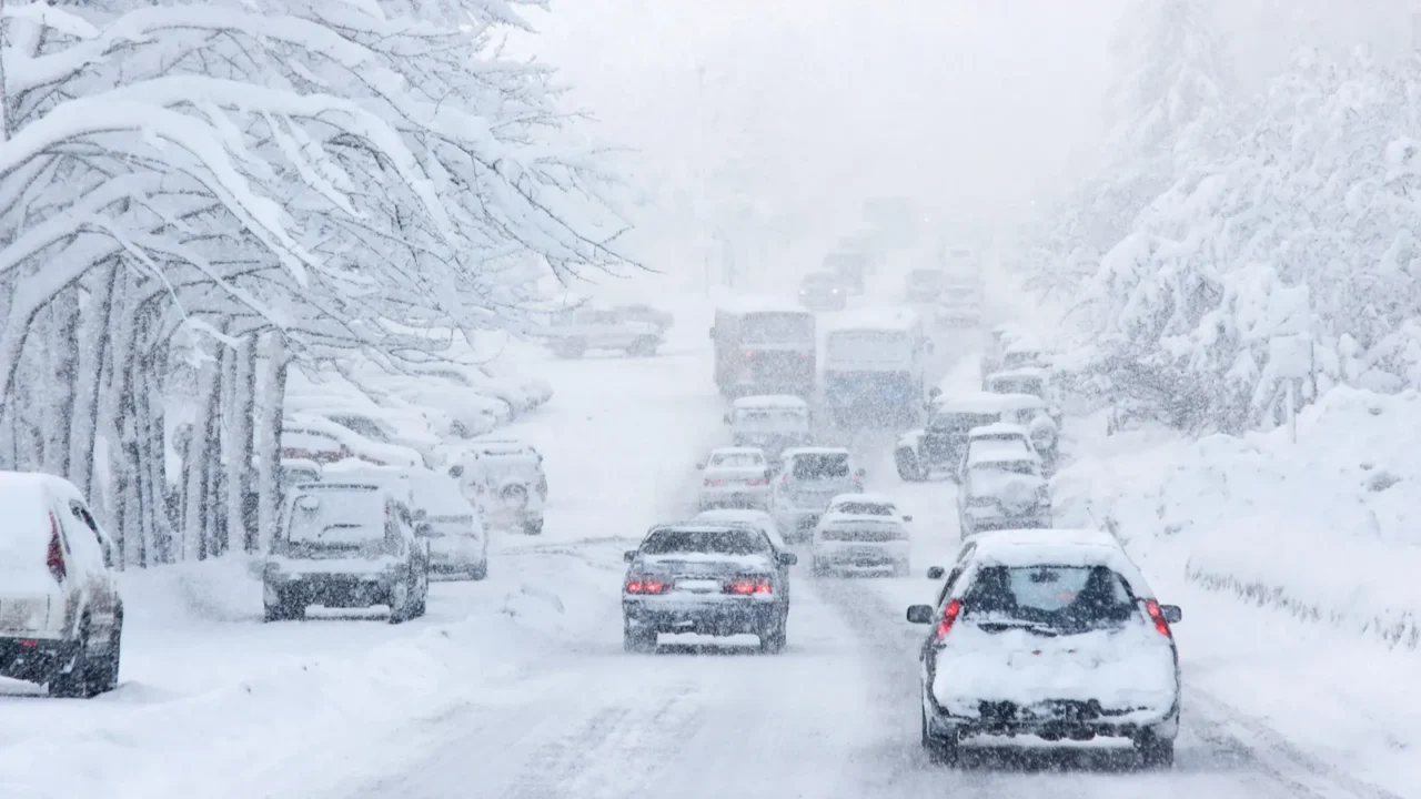
East Coast travel disruption
Ongoing winter patterns caused travel headaches from Washington, D.C., through Boston and New York. Snow and ice forced flight cancellations and slowed commuter rail operations. Hazardous road conditions and traffic delays were widespread in urban areas.
School closures and business adjustments were frequent in affected regions. Public transportation struggled under heavy snowfall and icy conditions. The combination of storms and Arctic blasts made East Coast travel difficult for visitors and locals alike.

Blood supply and shelter impacts
Severe winter storms forced hundreds of blood drives to be cancelled in early February. Cold weather and snow created unsafe conditions for donors and volunteers alike. Emergency services shifted operations to respond to winter hazards in several states.
Shelters opened to assist families affected by power outages or unsafe home conditions. Red Cross and local agencies worked to maintain services during heavy snow and ice. The winter conditions show how storms are impacting basic community needs beyond travel.
Power outages in the South
In northern Mississippi, ice storms caused power outages lasting nearly two weeks. Heavy snow and ice knocked down power lines and tree limbs, leaving thousands without electricity. Local utilities faced significant delays in restoring power due to ongoing hazardous conditions.
Residents relied on backup heating and emergency shelters during extreme cold. Communities coordinated to ensure vulnerable populations were safe. These long-lasting outages show the lasting impact of early February winter storms.

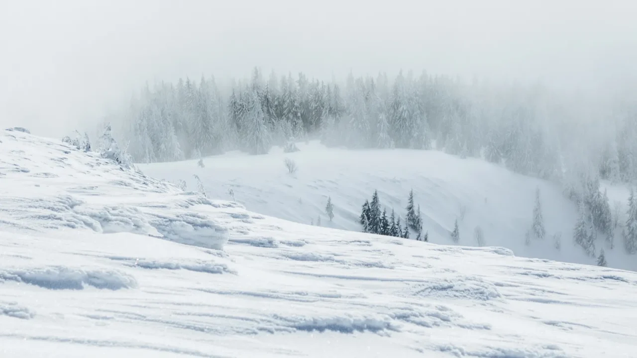
Western snow drought contrast
While the East experienced heavy snow, parts of the West saw unusually low snowpack entering February. States like Oregon, Utah, and Colorado reported below-average snow cover for this time of year. This contrast highlights that winter extremes are not uniform across the country.
Ski resorts in western states faced limited snow for early-season activities. Snow-dependent industries monitored weather patterns closely as storms remained more active in the central and eastern US. The split pattern emphasises how February’s winter effects vary regionally.

Seasonal outlook patterns
Long-range forecasts show a highly amplified pattern with warm conditions in the West and cold conditions in the central and eastern regions. A negative Arctic Oscillation and positive Pacific North America pattern are feeding repeated storms and chilly surges. These shifts suggest February will continue to be unusually active for winter weather.
Meteorologists expect snow, ice, and Arctic cold to persist intermittently through mid-month. Communities are preparing for continued winter events and potential emergency responses. The outlook points to more record-breaking weather before the month concludes.
Record‑breaking extremes
Several cities are hitting or nearing extreme winter records for February 2026. Florida experienced rare cold and even light flurries as Arctic air pushed unusually far south. These anomalies add to the unusual intensity of the month’s winter conditions. At the same time, Switzerland’s ‘Uber of the Alps’ is changing how travelers move in winter, highlighting how extreme weather is reshaping both daily life and travel habits worldwide.
Northeast and Midwest regions report snow totals and low temperatures beyond typical February expectations. Airports, schools, and highways continue to experience disruptions. These extremes reinforce why February is becoming a significant winter month in the US.
Winter event trend summary
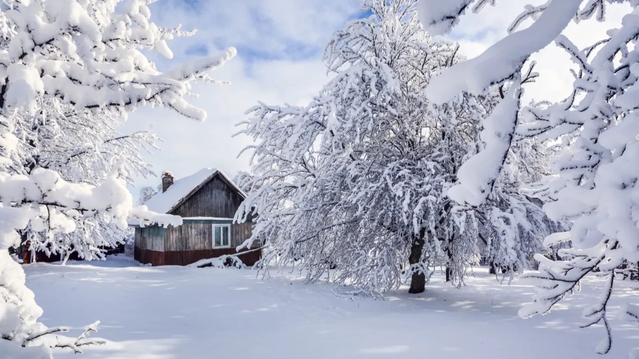
February 2026 is shaping up as a major winter event month across the United States. Repeated storms, polar vortex disruption, and Arctic cold waves are producing snow, ice, and record chill. Residents, visitors, and officials are all feeling the impact of these strong winter patterns.
Even though some patterns may moderate later in the month, winter remains active in many states. Storm clusters and extreme cold continue to influence daily life and travel. Overall, February is proving that this winter is far from over.
If you found this interesting, give us a like and share your thoughts in the comments.
This slideshow was made with AI assistance and human editing.
Don’t forget to follow us for more exclusive content right here on MSN.
Disclaimer: The images used are for illustrative purposes only and do not depict the actual locations mentioned.
Read More From This Brand: