California flood and storm zones
The California Governor’s Office of Emergency Services (Cal OES) is actively coordinating response and prepositioning resources for the mid-February 2026 storms that produced heavy rain, flood watches, and localized debris-flow risks across the state. Recent atmospheric rivers and winter storms have caused flooding, mudslides, and road closures in multiple counties. Travelers planning trips should stay aware of recovery zones to understand local safety and travel conditions.
State and local agencies are actively assessing damage and coordinating recovery efforts to reopen infrastructure safely. Emergency alerts and advisories are being issued in affected areas to keep visitors and residents informed. Staying informed helps travelers plan safer trips and avoid disruption.

Current storm impacts statewide
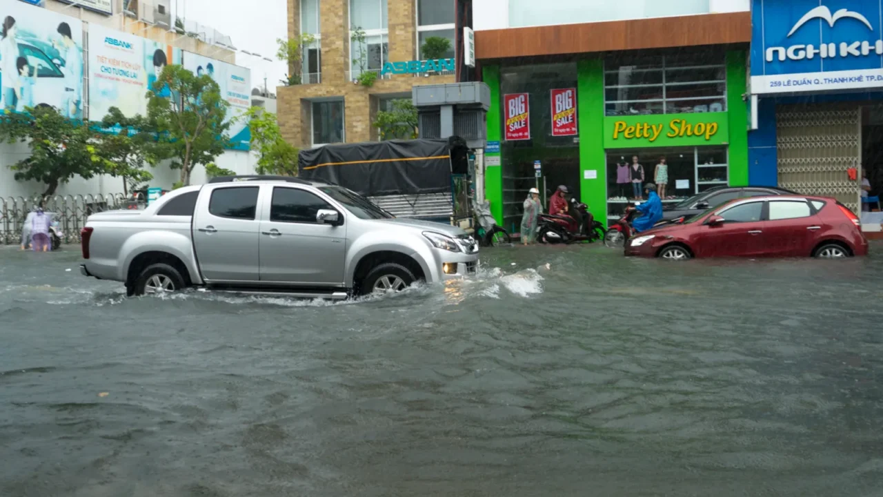
California is experiencing major winter storms bringing heavy rain, high winds, and significant snowfall in parts of the Sierra Nevada as of early 2026. Flash flood and high water risks persist in Southern California burn scar zones, including Los Angeles County and the surrounding foothills. Key highways and regional travel corridors have seen closures and travel disruptions due to flood and snow conditions.
Storm impacts have forced closures along roads like Topanga Canyon Boulevard and sections of Pacific Coast Highway in Malibu and Palisades recovery zones. Crews are actively clearing debris and assessing infrastructure for safe passage as water levels and mudslide threats evolve. Travelers and visitors in affected regions should monitor local advisories and plan for possible detours and delays.
Flood advisory zones explained
The National Weather Service issues flood watches and warnings when heavy rainfall could overwhelm drainage systems and urban areas. Parts of central, southern, and northern California, including Orange County and Northern California valleys, have seen recent flood advisories tied to intense rain events. These advisories often indicate that minor to moderate flooding is likely in low‑lying and poor drainage areas.
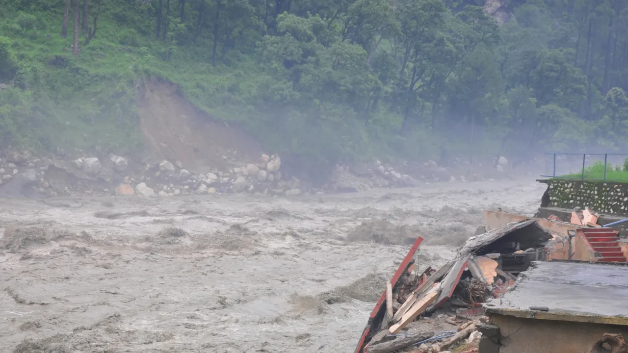
Flash floods travel quickly, and saturated soil conditions around burn scars from recent wildfires can trigger more dangerous mudflows and debris flows. Travelers in advisory zones should stay informed through the NWS and local county alerts. Awareness of forecasted rainfall amounts and active flood watches helps travelers adjust travel plans to avoid hazardous zones.

Safety before travel planning
Heavy rain and flood threats can cause sudden closures of major transport corridors like I‑80, Highway 50 in the Sierra Nevada, and other key routes in Southern California. These closures directly affect travelers heading to destinations like Tahoe, Yosemite, or coastal cities on planned itineraries. Being aware of current closures helps travelers adjust timing or route options.
Experienced drivers and first responders stress the importance of avoiding flooded roads, as even shallow water can sweep vehicles off the road. Flood preparedness emphasizes “turn around, don’t drown” messaging due to the risk flash floods pose to vehicles and occupants. Ongoing weather volatility during storm cycles makes checking travel and weather advisories essential.

Local recovery zones update
Counties like San Bernardino have established local assistance centers to support storm recovery and coordinate debris and infrastructure cleanup. These centers help property owners navigate repair processes, temporary repairs, and rebuild efforts after flood and mudslide events. For example, San Bernardino County approved plan-review and permit fee waivers (up to $5,000 per property) and certain disposal waivers tied to the December 2025 storms; some of those local programs are available through June 30, 2027.
In mountainous and desert regions such as Wrightwood, Phelan, and Piñon Hills, recovery crews continue to clear mudflows and repair affected roadways. Public works teams are resetting drainage systems and working to stabilize soils in areas that saw heavy rain in late 2025. Travelers should be aware that active recovery operations may still be underway in many rural areas of California.

Power and infrastructure concerns
Storm‑related flooding and heavy rain have caused power outages in some parts of California, complicating travel logistics and access to services. Restoration crews often face ongoing challenges clearing debris and restoring utility lines while flood soils remain saturated. Extreme weather events are now one of the leading causes of power disruptions in the United States.
Recovery zones often see extended utility work, including repairs to electrical and communications infrastructure. Travelers planning trips that include remote or rural destinations should note that utilities may take longer to fully stabilize. This can impact lodging, road access, and emergency services availability in certain areas.

Impact on airports and flights
Ongoing storms led to at least one ground stop and numerous flight delays at Los Angeles International Airport (LAX) during the Feb 2026 storm cycle; travelers should confirm flight status with airlines and airport advisories before departing. Disruptions to inbound and outbound flights can ripple through national travel schedules. Travelers heading to or from SoCal airports should check real‑time airport and airline updates.
Airport travel during flood seasons may also see delayed flights, canceled connections, or longer ground wait times due to safety protocols and weather conditions. Awareness of local weather systems and airport advisories helps visitors anticipate and plan around disruptions.

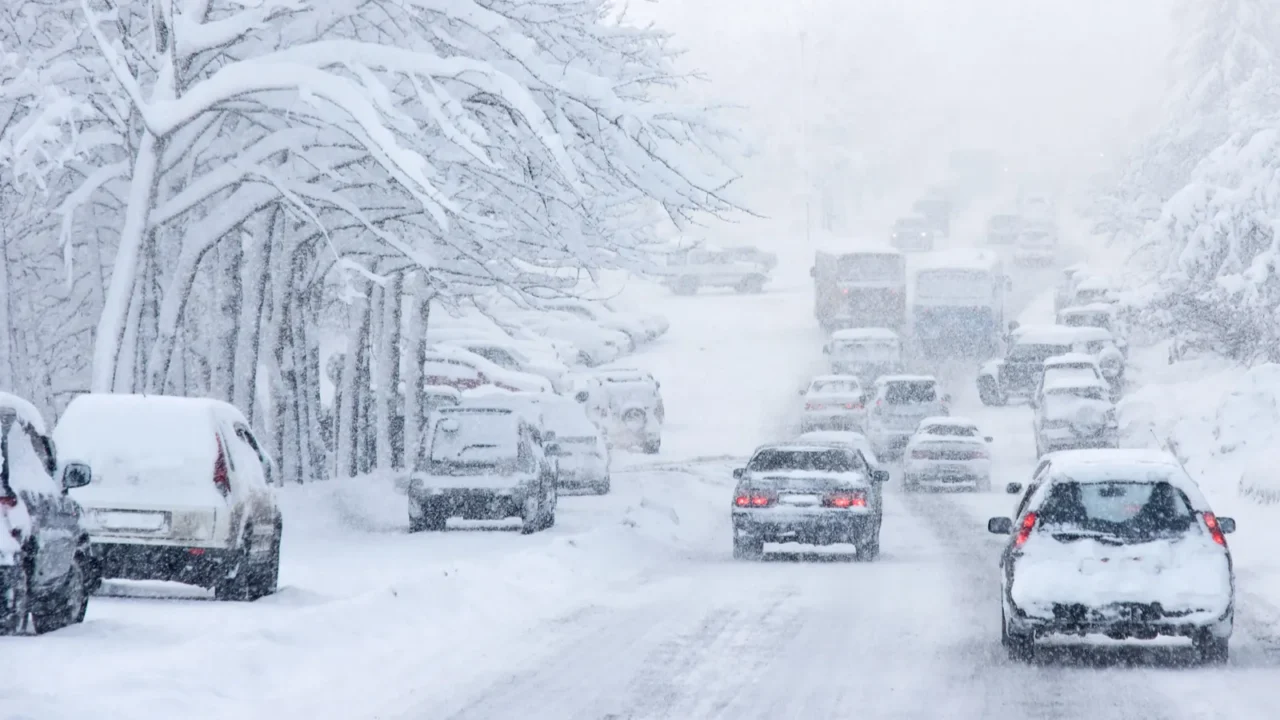
Sierra Nevada winter effects
Sierra Nevada communities have seen heavy snowfall, with some areas reporting multiple feet of snow that impacts mountain travel. Snow accumulation combined with flood washouts can disrupt roadways like Interstate 80 and other key altitudinal routes. Travelers planning ski or mountain vacations must consider both snow and flood recovery conditions simultaneously.
Avalanche risks and winter travel hazards add complexity to travel conditions in high‑elevation zones. Search and rescue operations near avalanche events highlight the severity of combined storm impacts. Travelers should consult national park and forest service advisories when planning time in these regions.
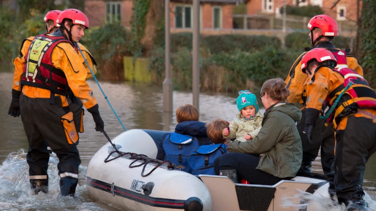
Emergency services in place
State and county emergency teams continue hazard monitoring and debris clearance as part of ongoing recovery efforts across flood zones. Public safety communication systems, such as telephone alerts and emergency notifications, are active to help residents and visitors stay informed. Travelers heading to affected areas may receive localized alerts via these services.
Emergency responders often emphasize real‑time updates over static forecasts due to the rapid pace of weather changes. Active coordination between Cal OES and local fire, law enforcement, and public works departments supports safer travel conditions over time. Monitoring these resources gives travelers a clearer picture of evolving risk zones.
Visitor infrastructure status
Some statewide attractions and parks have reported delays or temporary closures due to storm impact or flood mitigation efforts. Transportation centers, roadways, and trails may experience staged reopening schedules as damage assessments wrap up. Travelers planning multi‑day stays should verify local operations before finalizing plans.
National and state parks affected by snow and floods could have trail closures or limited access. Checking park websites and social feeds ensures travelers understand current conditions. This verification step avoids disappointment or last‑minute itinerary changes within recovery zones.

Forecasted weather variability
Meteorologists expect continued precipitation variability through early 2026 as storm systems traverse the Pacific and inland regions. The combination of heavy rains and frequent climate pattern shifts may prompt additional flood watches or warnings. These watches are typically issued several hours in advance to allow travelers and residents to adjust plans, highlighting how major floods are impacting travel routes and hotel stays.
Storm cycles often require watching evolving radar trends and updated forecast models. Awareness of expected storm durations, intensities, and affected regions helps travelers make informed decisions. Real‑time weather apps and official advisories play a critical role in safe travel planning.

Thoughtful travel considerations
Planning trips to California now means staying aware of flood and storm recovery zones and potential impacts on roads, airports, and visitor services. Remaining flexible with itineraries and checking official conditions before departures ensures safer travel experiences. Travelers may find it valuable to align itineraries with updated advisories and recovery progress for major storm impacts.
The best trips balance adventure with awareness of local conditions, especially in recovery areas like the Southern California foothills and Sierra routes.
Which travel strategies seem most helpful when planning through weather‑impacted regions now? Share thoughts below.
This slideshow was made with AI assistance and human editing.
Don’t forget to follow us for more exclusive content right here on MSN.
Disclaimer: The images used are for illustrative purposes only and do not depict the actual locations mentioned.
Read More From This Brand: